Having explored some of the notable places in far-western Colorado, it was time to move east. We had a date with a bluegrass festival later in July and we wanted to break the drive up, so we headed for Buena
Vista, in the Arkansas River Valley. The Arkansas River runs for over 1,400 miles from central Colorado to the Mississippi. Buena Vista is only about 50 miles from the source of the river and is at the center of one of the
most active whitewater areas in the country. Just south of Buena Vista the Arkansas runs through Brown’s Canyon, which was just made the country’s newest National Monument by President Obama.
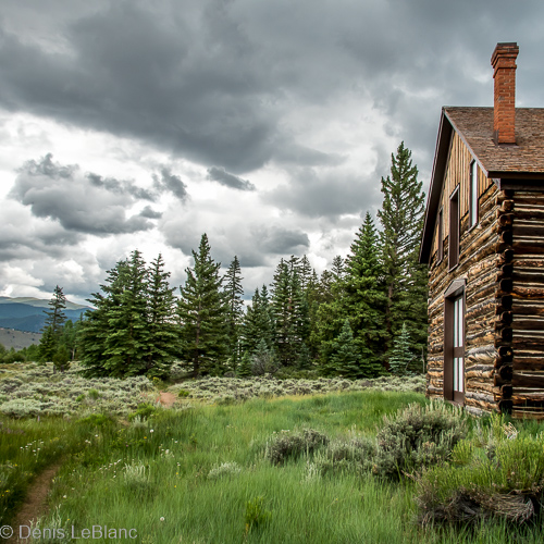
We had reservations at a campground right on the river, called Railroad Bridge Campground. In additon to being a campground, it was a major put-in/take-out spot for river runners and river guide companies.
We found it fun to watch the loading and unloading of rafts and kayaks, and the spot was absolutely spectacular, with views of several 14,000-foot peaks to the west and the beautiful river running through our dreams.
We did a few hikes to nearby lakes and a fabulous bike ride through the mining district of nearby Leadville. We also took a raft trip through Brown’s Canyon--SO different from the Colorado River we ran
back in May, but very beautiful and fun. We loved the little town of BV and the friendly, outdoorsy people of Colorado. ANOTHER place we’d love to visit again someday (this is getting to be a recurring theme)!
 |
| Buena Vista has a whitewater park on the Arkansas River which runs right through town. Professional kayakers have moved here because it is so great for whitewater |
 |
| We watched the fireworks display in a field outside of Buena Vista |
 |
| Ptarmigan Lake. This was a nice 5-mile hike above the tree line. |
 |
| Tucker likes hiking too! |
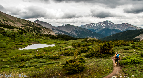 |
| This hike was in the Collegiate Range. that is Mt. Yale (14,199 ft.) in the distance |
 |
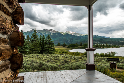
| View of our campground looking down the Arkansas River. That is our trailer left center. |
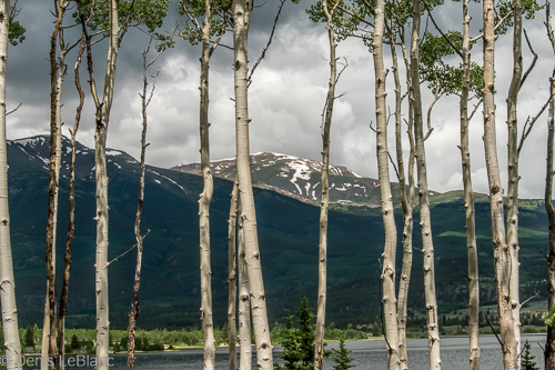 |
| Hiking along twin Lakes near Leadville. That is Mt. Elbert (14,439 ft.), the highest peak in the Rockies. |
 |
| We hiked to the site of Interlaken Resort, which died back in the 1920's but many of the buildings are preserved. |
 |
| Interlaken Historic Area |
 |
| Lynnae riding the Mineral Belt Trail, a 12-mile bike trail around Leadville. The trail is very fun and beautiful. |
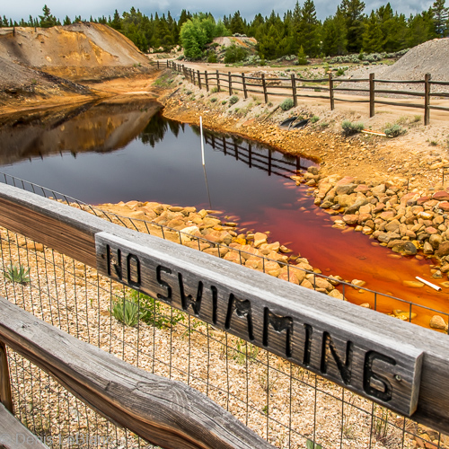 |
| The Minerall Belt trail goes through the old mining district of Leadville. Not sure who would even think of swimming here! Much of the mining area was declared a Superfund site several years ago and is much cleaned up now...but not completely |
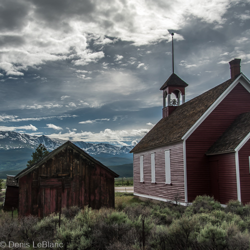 |
| An old church outside of Leadville. Back in the 1880's, Leadville was second in population only to Denver and was almost made the state capital of Colorado. |
 |
| Arkansas River from the old railroad bridge near our campsite |
 |
| This tunnel caused us some trepidation at first, but we fit through it just fine |


No comments:
Post a Comment